
KartaView – Contribute to OSM (formerly OpenStreetCam) is an open and free platform for street-level imagery where everyone can contribute images with open-source apps and smartphones. Once you record and upload street views, OpenStreetCam will detect all the silent features from the uploaded pics including lenses, road curvatures, lenses, and more that it includes.
No doubt, a site that offers no fake images of the most beautiful locations all over the world. It retrieves the images from the street-level photographers for improving the functionalities. The site has an official CC-BY-SA license, and the project’s code is open source.
You can even take images of the streets or whatever the place is, does not matter, with your smartphones using its official application and upload them for other people. The official platform recognizes the captured images, then processes the captured shots, uploads them, and publishes them to its official website.
There are up to 9 OpenStreetCam Alternatives for several platforms, including Playstore, Apple. It has features like Best GPS locator, Free location tracker, Google Maps, GPS Location Tracking and Maps. The best alternative to OpenStreetCam is Google Street View, which is Free. The other best apps like OpenStreetCam are Hivemapper, Google Street Discovery, and vPike.
Pricing
OpenStreetCam Information
9 Best OpenStreetCam Alternatives
1: vPike

vPike is an exceptional platform for capturing real-time images of specific areas and obtaining driving directions. Equipped with a measurement tool, it allows users to gauge path lengths and provides a touch-friendly mapping service that integrates with Google Maps, helping you find your destinations efficiently.

Google Street Discovery is a comprehensive map platform that offers street views from virtually any part of the world. With a sleek, user-friendly design, Google Street Discovery lets you zoom in or out on any location by scrolling or pinching, giving you a clear view of desired destinations.
Advertisement
3: Hivemapper

Hivemapper is a decentralized, community-built map created by contributors using dashcams, drones, or other cameras. The Hivemapper app enables users to enhance map coverage and accuracy, contributing to a global mapping project accessible through its official website.
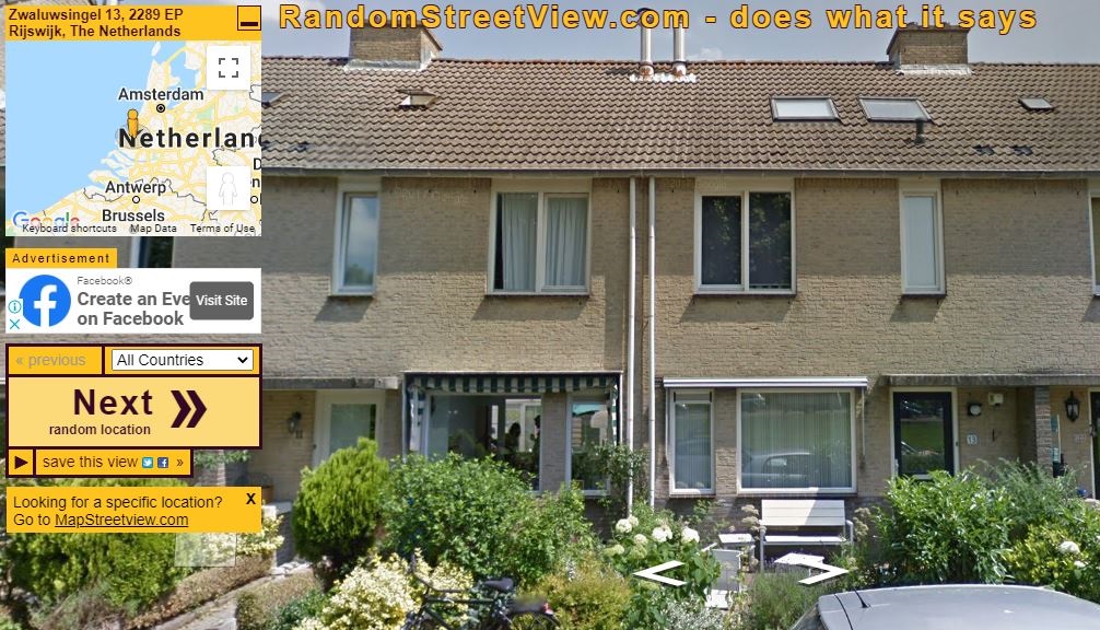
Random Street View is a unique alternative to Google Street View, offering high-quality views of global streets. Simply open the website, and it will present a random street view, allowing you to explore new places with just a few clicks.
Advertisement
5: Fast Street View
Fast Street View allows you to explore global locations easily, with both 360-degree and street-level imagery views. You can even share your favorite images with friends on social media, making it an ideal tool for virtual exploration and sharing experiences.
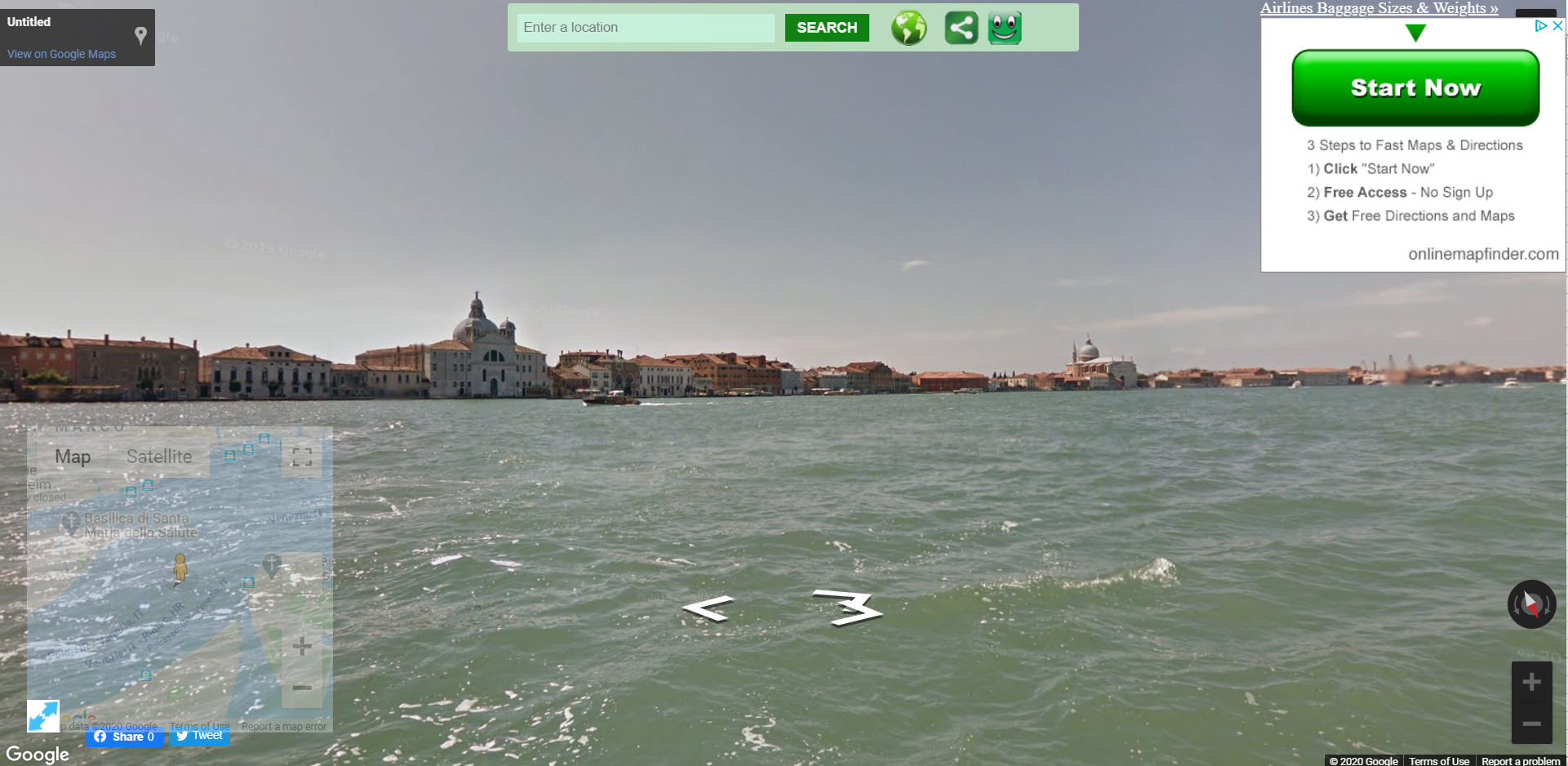
6: MapCrunch

MapCrunch is a great alternative to GeoGuessr, providing users with street views of favorite locations worldwide. This site offers endless possibilities for discovering new destinations—explore them in real-time on the official website to see how these places look from the ground up.
Advertisement
7: eMaps

eMaps offers an easy, direct way to explore locations. Simply visit the official website, enter your chosen area, and access it instantly. You can search by address, intersection, or postal code to quickly retrieve data.
8: Mapillary

Mapillary is a highly accurate, dynamic street-level imagery platform that scales and automates mapping through collaborative cameras, dashcams, door cams, and computer vision technology. You can contribute directly to the Mapillary network using their apps available on Android and iOS.

Google Street View is a virtual platform offering a realistic view of its surroundings, created from millions of panoramic images. Known simply as Street View, it compiles visuals from numerous sources and allows users to add their own images. Explore places worldwide intuitively, and use your smartphone to upload new photos through its various features.